Get Help Today! | 978.474.8670
Massachusetts recorded 368 traffic fatalities in 2024, a 7.3 percent increase over the prior year. More than 135,000 motor vehicle crashes were reported statewide, and the intersections and road segments responsible for the worst clusters of those collisions are not random. MassDOT tracks them, publishes annual top crash location reports, and maintains an interactive map that highlights the 200 most dangerous crash clusters in the Commonwealth.
Some of these locations have been on the list for years. Drivers who commute through them every day know how dangerous they are. Pedestrians and cyclists who share those roads face even greater risk. In 2024, 78 pedestrians were killed in Massachusetts traffic, accounting for more than one in every five traffic deaths statewide.
Kiley Law Group has recovered more than $1 billion for injured clients across Massachusetts and New Hampshire over more than 50 years. If you were hurt at one of these high-crash locations, or anywhere else on Massachusetts roads, you have legal options. Call 978-474-8670 for a free consultation.
Before identifying specific locations, it helps to understand the scope of the problem. Massachusetts has the lowest motor vehicle death rate per 100,000 population of any state, but that does not mean its roads are safe. The raw numbers tell a different story.
These numbers increased even as the national trend moved in the opposite direction. Nationwide, traffic fatalities fell 3.8% in 2024. Massachusetts went up. Distracted driving, speeding, impairment, and failure to yield remain the top contributing factors according to MassDOT data.
MassDOT publishes top crash location reports that identify the highest-crash intersections statewide. The following locations consistently appear in those reports or in crash cluster data spanning 2019 through 2024. These are not just Boston intersections. They span the entire Commonwealth.
This intersection in the South End tops the list of the most dangerous intersections in Massachusetts. Between 2014 and 2024, 124 crashes were recorded here. Between January 2015 and May 2024, 49 pedestrians were struck at this single intersection. Since the beginning of 2020, drivers have killed six pedestrians and one cyclist along the two-block stretch of Massachusetts Avenue between Melnea Cass Boulevard and Harrison Avenue.
The nearby intersection of Massachusetts Avenue and Albany Street compounds the problem. Combined, these two junctions saw 220 crashes in that period, with 86 involving pedestrians and 27 involving cyclists. Boston Medical Center generates constant foot traffic, and large trucks heading to Newmarket Square create conditions that transportation safety experts call "uniquely dangerous" for anyone on foot.
Kelley Square spent years as one of the most notorious intersections in the state. Multiple roads converge at odd angles with minimal signaling. Worcester recorded more than 5,600 car accidents in 2024 overall, and Kelley Square contributed to that total at an outsized rate for decades. A recent reconstruction project added traffic signals and redesigned the layout, but the intersection remains a high-volume crash zone as drivers adjust to the new configuration.
Other dangerous Worcester intersections include Southbridge Street at Hammond Street and Park Avenue at May Street. The Route 290 on-ramps near Belmont Street are another persistent problem area.
Bell Circle is a complex rotary where at least 10 to 15 different streets and ramps converge. Beach Street and Leon Highway cut through the middle. A busy Dunkin' Donuts sits 50 feet from the circulating traffic. MassDOT consistently identifies Bell Circle as one of the top crash clusters in the state. The geometry of the rotary forces drivers to make split-second lane decisions at speed, and the volume of commercial traffic through the area increases the severity of collisions when they happen.
The interchange area around East Columbus Avenue and the Route 91 Northbound ramp in Springfield recorded more than 600 crashes between 2019 and 2021. Springfield saw over 2,500 car accidents in 2024 and recorded at least 13 traffic fatalities, including four pedestrian deaths. The city ranks as the 5th most collision-prone city in the nation according to Allstate's 2025 report, alongside Boston and Worcester in the top five.
This interchange where Route 128 meets the Middlesex Turnpike in Burlington ranks as one of the most dangerous commuter intersections in Greater Boston. The high-speed merging traffic from Route 128 meets local traffic from the Turnpike and Mall Road, creating persistent conflict points. The cluster of crashes in the Route 128 and I-93 corridor through Woburn and Burlington is one of the densest in the MassDOT crash map.
• Columbia Road at the Southeast Expressway, Dorchester: A merge point where local and highway traffic collide at high volume.
• Lakeview Avenue and Bridge Street, Lowell: Tops the list for pedestrian crash danger in the Merrimack Valley.
• Congress and Sleeper Streets, Boston Seaport: Site of a fatal pedestrian crash that drew citywide attention in 2024. The city had planned safety upgrades for this intersection before the tragedy.
• Route 9 corridor through Framingham: A commercial strip with frequent turning movements, limited sight lines, and heavy traffic that generates one of the highest crash cluster densities outside of Boston.
Dangerous driving in Massachusetts is not limited to intersections. Entire road corridors and highway segments carry elevated crash and fatality rates year after year.
Route 24 runs 40 miles from Randolph to Fall River and has earned the nickname "Death Highway" among commuters and law enforcement. Between January 2016 and December 2019, MassDOT recorded 3,645 crashes, 1,198 injuries, and 21 fatalities on this stretch. At least 16 deaths occurred in a recent three-year period.
The road was designed in the 1950s and 1960s and has not been meaningfully updated since. On-ramps curve sharply and force drivers to slow down, but the merging lanes are dangerously short, giving vehicles almost no room to accelerate to highway speed. More than 300 crashes occurred on unlit portions of the road. The Route 24/Route 140 interchange alone recorded 274 crashes, with experts attributing the problem to insufficient spacing between off-ramps and on-ramps.
Interstate 95 is the deadliest highway in the United States by total fatalities. In 2019, it recorded 284 deaths nationwide, with the highest fatality rate of any interstate at 14.88 deaths per 100 miles. The Massachusetts stretch of I-95 carries heavy commercial truck traffic, particularly between the Providence line and the Route 128 interchange, and the volume of vehicles makes every collision potentially catastrophic.
The stretch of I-93 North between Exit 39 and Exit 42 averages 1.2 crashes per mile across just 3.3 miles, making it one of the most crash-dense segments of highway in the state. The Braintree Split, where I-93 meets Route 3, is a chronic bottleneck that generates rear-end collisions, lane-change crashes, and chain-reaction pileups during peak commuting hours. Wrong-way crashes on I-93 have also increased, prompting MassDOT to install detection cameras at high-risk entry points including Braintree.
I-495 forms a wide arc around Greater Boston and carries commuter traffic between suburban communities and the city. Early data suggests I-495 may surpass I-95 as the deadliest stretch of highway in Massachusetts, with approximately 10 fatalities per year. The highway's long, straight sections encourage high-speed driving, and the distance between exits means emergency response times can be longer than on more urban interstates.
A MassDOT study examined 218 traffic locations with at least 500 crashes between 2019 and 2023. When ranked by the percentage of crash victims who died from their injuries, the results are surprising. The most dangerous places to drive are not all major cities.
For sheer collision volume, Boston, Worcester, and Springfield lead the state. Worcester drivers average a crash every 4.26 years. Boston drivers average a crash every 3 years. These cities ranked 1st, 4th, and 5th nationally in Allstate's 2025 most collision-prone cities report.
There are common factors that keep certain locations on the MassDOT top crash list year after year.
If you are involved in an accident at any of the intersections or road segments listed above, the steps you take immediately after the crash matter for your health and for any legal claim you may file later.
When a crash happens at a location that MassDOT has identified as a top crash cluster, that data becomes evidence. Your attorney can use it to show that the location itself contributed to the conditions that caused your crash, not just the other driver's behavior.
If a municipality knew about a dangerous intersection and failed to install adequate signage, signals, or lighting, that failure may create an additional basis for liability. Under Massachusetts law, government entities have a duty to maintain roadways in reasonably safe condition. When they ignore years of crash data at a known problem location, injured drivers may have a claim against the municipality in addition to a claim against the at-fault driver.
MassDOT crash data, police reports, traffic engineering studies, and the state's own top crash location reports can all be used as evidence in your case. An experienced attorney knows how to obtain and present this information to maximize your recovery.
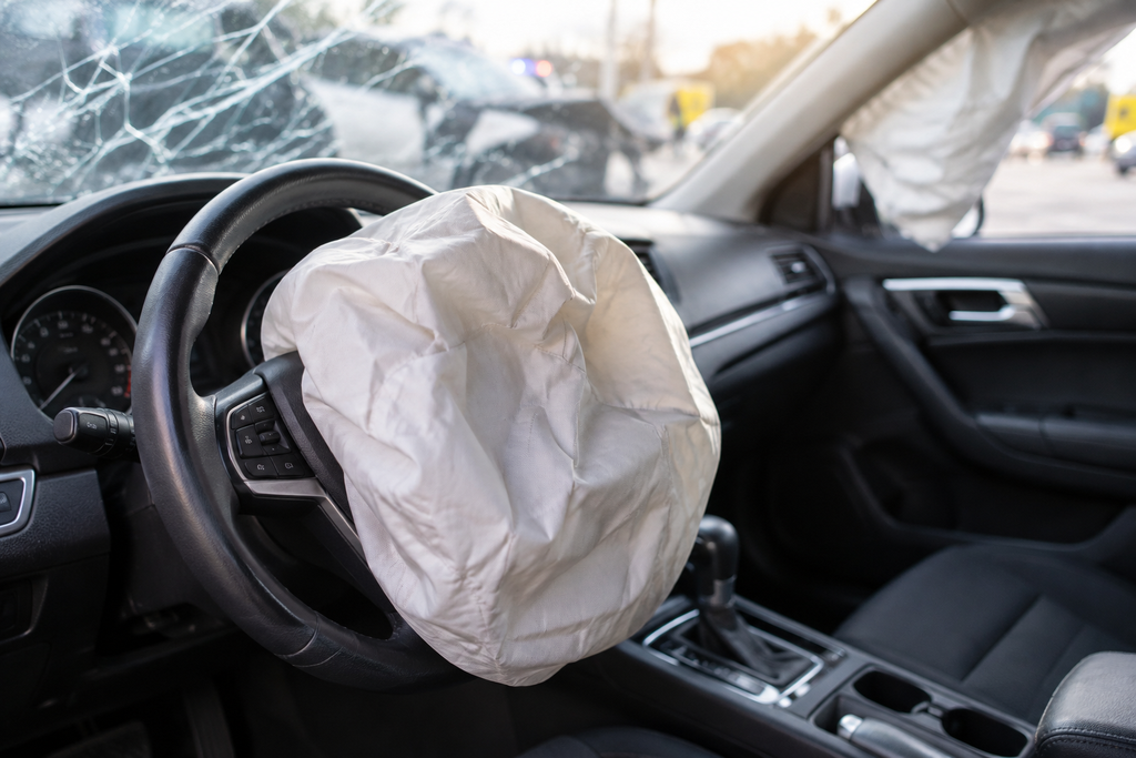
Massachusetts is a no-fault state. Your own Personal Injury Protection (PIP) coverage pays the first $8,000 in medical bills and lost wages regardless of who caused the accident. But PIP has limits, and it does not cover pain and suffering.
To step outside the no-fault system and file a claim against the at-fault driver, your injuries must meet the serious injury threshold under M.G.L. Chapter 231, Section 6D. That means your medical expenses must exceed $2,000, or you must have suffered a fracture, permanent disfigurement, loss of sight or hearing, loss of a body member, or death.
The minimum liability coverage in Massachusetts is $20,000 per person and $40,000 per accident for bodily injury, plus $5,000 for property damage. At high-crash locations where serious injuries are common, the at-fault driver's minimum policy may not come close to covering your damages. Uninsured and underinsured motorist coverage on your own policy becomes critical.
You have three years from the date of the accident to file a personal injury lawsuit under M.G.L. Chapter 260, Section 2A. Missing that deadline means losing your right to compensation entirely.
MassDOT publishes annual top crash location reports and maintains an interactive crash map on its Open Data Portal. The map includes the top 200 intersection crash clusters and Highway Safety Improvement Program (HSIP) clusters. You can filter by year, municipality, and crash type.
Yes, in some cases. Massachusetts law holds municipalities responsible for maintaining roads in reasonably safe condition. If a city or town knew about a dangerous intersection, as documented in MassDOT crash reports, and failed to take reasonable steps to fix it, you may have a claim against the municipality in addition to the at-fault driver. Government liability claims have strict notice requirements, so you need to act quickly.
Massachusetts follows a modified comparative negligence rule under M.G.L. Chapter 231, Section 85. If you are found to be 51% or more at fault for the crash, you recover nothing. If you are 50% or less at fault, your damages are reduced by your percentage of fault. For example, if your damages are $100,000 and you are found 20% at fault, you recover $80,000.
Get medical attention immediately, document the scene with photos and witness information, file a crash report, and contact a personal injury attorney before speaking with the insurance company. The crash history of the location can be powerful evidence in your case, and an attorney can obtain the MassDOT data to support your claim.
The statute of limitations for personal injury claims in Massachusetts is three years from the date of the accident under M.G.L. Chapter 260, Section 2A. For wrongful death claims filed under M.G.L. Chapter 229, the deadline is also three years. Missing these deadlines bars your claim entirely.
Yes. Crashes at known high-risk locations often involve more severe injuries and more complex liability questions. Insurance companies may try to argue that you should have anticipated the danger and driven more cautiously. An attorney experienced with these locations can counter that argument using the intersection's documented crash history and any municipal failures to address known hazards.
If you or someone you love was hurt at any of the intersections or road segments described in this article, you deserve an attorney who knows these locations and knows how to hold negligent drivers and municipalities accountable. The crash data is public. The patterns are documented. What matters now is building a case that gets you the compensation you are owed.
Kiley Law Group has recovered more than $1 billion for injured clients across Massachusetts and New Hampshire over more than 50 years. Call 978-474-8670 for a free consultation today.
This article is for general informational purposes only and does not constitute legal advice. Massachusetts laws cited include M.G.L. Ch. 231 Section 85 (comparative negligence), M.G.L. Ch. 231 Section 6D (serious injury threshold), M.G.L. Ch. 260 Section 2A (statute of limitations), and M.G.L. Ch. 229 (wrongful death). Laws change; consult a licensed Massachusetts attorney for advice specific to your situation.