Get Help Today! | 978.474.8670
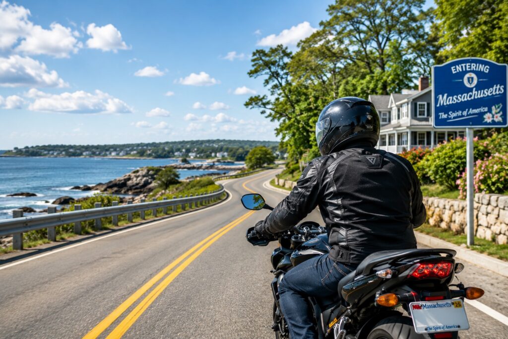
Every experienced rider knows that certain intersections feel different the moment they approach them. The angles are wrong, the sight lines are cut short, traffic comes from too many directions at once, and something about the geometry of the place demands extra attention. That instinct is worth trusting.
Massachusetts has some of the most challenging road conditions in the country for motorcyclists. The state's aging infrastructure, dense urban street grids, high traffic volume, and complex highway interchanges create conditions where riders are disproportionately at risk. Unlike passengers in cars, motorcyclists have little protection, making them nearly 30 times more likely to suffer fatal or life-altering injuries in an accident. When a crash happens, the rider absorbs the full impact.
MassDOT maintains a crash data portal called IMPACT that tracks collision data across the state, and the patterns it reveals year after year point to specific locations where crashes, serious injuries, and fatalities concentrate. This article draws on that data, analysis from MassDOT's Highway Safety Improvement Program, and reporting by news organizations that have reviewed state crash records, to identify the intersections and road corridors where Massachusetts motorcyclists face the greatest danger.
Kiley Law Group has represented injured motorcyclists across Massachusetts and New Hampshire for more than 50 years and has recovered over $1 billion for our clients. If you were injured in a motorcycle crash anywhere in Massachusetts or New Hampshire, call 978-474-8670 for a free consultation.
Intersections are the single most dangerous environment a motorcyclist navigates. The hazards that exist at every intersection are compounded for riders because motorcycles are smaller, harder to see, and provide no structural protection. A car making a left turn across a motorcycle's path at an intersection creates a collision that a car occupant might survive with moderate injuries. For the rider, the same crash is potentially fatal.
The most common cause of intersection crashes involving motorcycles is a driver who failed to see, respect, or yield to a motorcyclist. Distracted driving, failure to check mirrors and blind spots, and failure to yield at intersections and when merging are the behaviors that put riders in harm's way. These are not freak accidents. They are predictable outcomes of inattention that repeat at the same locations year after year.
Rear-end collisions at intersections are a separate and serious threat. A motorcyclist stopped at a red light has no crumple zone behind them and no seatbelt. A distracted driver who fails to stop in time can throw a rider from the bike into the intersection or into other vehicles. What would be a minor fender bender between two cars becomes a catastrophic crash for a rider.
Road hazards are also concentrated at certain intersections and corridors. Potholes, missing or faded lane markings, defective guardrails, poor signage, and degraded pavement all contribute to motorcycle crashes. When a hazardous road condition caused or contributed to an accident, the government entity responsible for maintaining that road may be liable, though claims against municipalities and state agencies require strict attention to notice deadlines.
Massachusetts Avenue and Melnea Cass Boulevard, Boston
This intersection is consistently identified by Boston's Vision Zero crash database as the most dangerous crossroad in the city. Analysis of crash data from 2014 through 2024 shows more than 124 crashes at this location over that period, many involving pedestrians, cyclists, and motorcyclists navigating the wide, multi-lane junction. The intersection sits near Boston Medical Center, meaning ambulances, heavy delivery trucks serving Newmarket Square, and high volumes of pedestrian traffic converge constantly.
For a motorcyclist, this means unpredictable vehicle movements, frequent door openings from parked vehicles, and left-turning drivers focused on finding gaps in traffic rather than checking for two-wheeled vehicles approaching in their lane. Known locally as Mass and Cass, this junction involves multiple lanes, complex turning movements, and surrounding conditions that contribute to erratic and distracted driving. MassDOT and Boston Vision Zero data shows repeat serious injury crashes here year over year.
Massachusetts Avenue and Huntington Avenue, Boston
This intersection near Symphony Hall is a documented danger zone for vulnerable road users including motorcyclists. The layout creates particular risk from right-turning vehicles crossing designated bike lanes, a pattern that translates directly into sideswipe and left-turn hazards for riders. Multiple universities and colleges in the area generate heavy pedestrian and bicycle traffic that forces motorcyclists to share lane space while monitoring turning vehicles from multiple approaches.
The intersection's risk is compounded by the presence of MBTA Green Line surface tracks along Huntington Avenue, which run at angles to the direction of travel. These rail grooves can catch a motorcycle wheel and cause sudden loss of control. Riders crossing or riding parallel to Green Line tracks anywhere along the Huntington and Commonwealth Avenue corridors face this hazard in addition to standard intersection risks. Tracks must be crossed as close to a 90-degree angle as possible.
Columbia Road and the Southeast Expressway Interchange, Boston
The convergence of Columbia Road with the ramps feeding the Southeast Expressway creates a consistently high-crash environment that is particularly dangerous for motorcyclists. Vehicles exiting the expressway at speed and merging onto Columbia Road encounter through traffic that does not expect high-speed entries. For a motorcyclist, the combination of highway-speed vehicles joining surface traffic and the turning and merging movements of slower vehicles creates an environment where reaction time is compressed and the consequences of a misjudgment are severe.
North Washington Street and the Central Artery Corridor, Boston
This corridor, where North Washington Street connects to ramps serving I-93, recorded 232 crashes in a multi-year MassDOT analysis, making it one of the highest raw crash-volume locations in the Boston area. For motorcyclists, the hazards include heavy truck traffic, merging and diverging lanes with vehicles at highway speeds, and the complex geometry where surface streets intersect with expressway infrastructure. The North Washington Street Bridge also concentrates traffic into narrow lanes with limited shoulder space.
Neither Storrow Drive nor Memorial Drive is a single intersection, but both corridors appear repeatedly in crash data and deserve specific attention from riders. Storrow Drive is particularly dangerous due to its narrow lanes, absence of shoulders, concrete barriers, and traffic that bunches and surges. The low bridges on Storrow Drive regularly trap tall vehicles and create sudden traffic disruptions that threaten following motorcyclists. Memorial Drive in Cambridge presents similar issues with narrow lanes and a consistently congested, high-volume environment.
Worcester, Boston, and Springfield are consistently ranked among the most collision-prone cities in the country, according to Allstate's America's Best Drivers Report. Worcester drivers average just 4.26 years between crashes, a rate more than twice the national average. For motorcyclists riding in Worcester, that underlying collision frequency is a direct and constant threat.
Kelley Square, Worcester
Kelley Square is arguably the most notorious intersection in Massachusetts. It is not really a single intersection but an uncontrolled merge point where more than eight roads, including Franklin Street, Millbury Street, Green Street, and Lamartine Street, converge at irregular angles with no clear right-of-way. There is no standard signal pattern. Traffic flows largely through negotiation and aggression.
For a motorcyclist, Kelley Square presents dangers that go beyond a typical busy intersection. The absence of a clear right-of-way means vehicles may enter from unexpected directions without warning. The irregular angles of converging streets mean motorcycles are approaching from directions that drivers are not scanning for. Heavy truck traffic from nearby commercial areas adds further unpredictability. Recent improvements have helped, but Kelley Square remains a high-crash location that every Worcester-area rider should approach with maximum caution and reduced speed.
Park Avenue at May Street, Worcester
Park Avenue is one of Worcester's primary commercial corridors and a consistent presence in MassDOT crash cluster data. The intersection at May Street combines high traffic volume, a mix of commercial and residential uses that generate frequent turning movements, and road geometry that creates sight line problems. Motorcyclists traveling along Park Avenue face left-turning vehicles crossing their path from both the May Street approaches and from the driveways and side streets that line the commercial strip.
Belmont Street near Route 290 Ramps, Worcester
The area where Belmont Street intersects with ramps from Route 290 combines the hazards of a busy surface street with the speed differentials of highway ramp traffic. Vehicles accelerating off the 290 ramps merge onto Belmont Street while surface traffic continues at lower speeds. Motorcyclists traveling Belmont Street must contend with vehicles entering at speed from ramps while drivers on Belmont Street are focused on the expressway interchange rather than on two-wheeled vehicles in adjacent lanes.
Lincoln Street (Route 9) Corridor, Worcester
Lincoln Street functions as a heavy-volume commuter connector between downtown Worcester and the northwestern suburbs, passing through densely populated residential neighborhoods. The corridor appears repeatedly in crash data due to its combination of high vehicle speeds, frequent turning movements into residential driveways and side streets, and the sudden speed changes that peak commute patterns create. For a motorcyclist, this kind of corridor requires constant attention to vehicles that may turn across the lane throughout its entire length, not just at controlled intersections.
Springfield is the third major Massachusetts city consistently ranked among the most collision-prone in the country. Its street network includes several corridors and intersections that appear repeatedly in state crash data for serious injury crashes involving vulnerable road users.
East Columbus Avenue Corridor, Springfield
East Columbus Avenue has appeared in MassDOT crash data analyses as one of the higher-volume crash corridors in Springfield. The avenue functions as a significant east-west connector through a densely urban area, combining frequent signalized intersections, commercial and residential mixed use generating turning movements throughout its length, and a road design that prioritizes vehicle throughput over the kind of speed management and lane separation that would better protect motorcyclists.
State Street Corridor, Springfield
State Street is one of Springfield's major commercial arterials and a consistent presence in regional crash data. The corridor's wide lanes, multiple access points, and high traffic volume create the conditions where left-turn and rear-end crashes involving motorcycles occur. Riders traveling State Street face drivers turning left across oncoming traffic, vehicles pulling out from parking areas and side streets across the travel lane, and the compressed decision-making environment that high-volume multi-lane roads create.
Springfield's location as a regional hub also means its street network connects to I-91 and I-291, and the ramp environments where those highways interface with surface streets are additional hazard zones for motorcyclists transitioning between highway and urban riding.
Route 128, which largely overlaps with I-95 around the Boston metropolitan area, and its intersections with I-93 represent some of the highest-crash highway environments in Massachusetts. MassDOT crash analysis has consistently identified specific locations along this corridor as top crash sites statewide.
Route 128 and I-93 in Woburn
The interchange where Route 128 and I-93 separate and reconnect in Woburn recorded 225 crashes in a multi-year MassDOT analysis, making it one of the five highest-crash intersections in the state. The interchange forces drivers to make rapid lane-change decisions as the two highways diverge, and the high speeds of highway traffic leave minimal margin for error. Motorcyclists navigating this interchange must manage speed differentials between lanes, vehicles merging across multiple lanes simultaneously, and compressed sight distances on curved ramps. Errors here happen at highway speed, which makes the consequences for an unprotected rider catastrophic.
Middlesex Turnpike at Route 128, Burlington
The intersection of the Middlesex Turnpike with Route 128 in Burlington recorded 295 crashes in the same MassDOT multi-year analysis, the second-highest crash count of any intersection in the Greater Boston region. The area is heavily commercial, with the Burlington Mall and major office parks generating constant turning traffic that conflicts with high-speed Route 128 ramp movements. For motorcyclists, the hazard is the mix of highway-speed merging traffic from the 128 ramps with the lower-speed turning traffic of the commercial corridor, and the high number of distracted drivers focused on parking and business entrances rather than monitoring adjacent lanes.
Route 128 and I-93 in Andover
MassDOT data has identified the interchange at I-93 and I-95 in Andover as one of the top locations for fatal crashes in Massachusetts, a distinction based on crash severity rather than raw crash volume. This matters specifically for motorcyclists because it reflects the presence of high-speed collisions rather than the lower-speed urban crashes that generate high total counts. A motorcyclist involved in a crash at this interchange is in a different danger category entirely. MassDOT has flagged this interchange for safety improvements and wrong-way driver prevention measures.
Granite Avenue and the Southeast Expressway Interchange, Milton
The area where Granite Avenue meets the Southeast Expressway in Milton recorded 245 crashes in MassDOT analysis, making it one of the top five highest-crash locations in the region. Milton police have specifically noted a problem with vehicles decelerating rapidly on Granite Avenue to attempt U-turns to access the expressway entrance, creating sudden stops in traffic at speeds where following vehicles, including motorcycles, have very limited stopping distance.
The intersections and corridors described above share characteristics that make them particularly dangerous for motorcyclists compared to car drivers. Negligent drivers who fail to notice or respect motorcyclists are the most common cause, as confirmed by the firm's own experience handling these cases. Distracted driving, failure to check mirrors and blind spots, and failure to yield are the behaviors that produce crashes at these locations over and over.
Trucks and commercial vehicles create additional hazards at high-volume urban intersections. Delivery trucks serving areas like Newmarket Square in Boston, commercial vehicles on Park Avenue in Worcester, and fleet traffic throughout Springfield's commercial corridors cut off and squeeze motorcyclists in ways that the firm's attorneys see repeatedly in crash investigations.
Speed differentials at highway interchanges along Route 128 and I-93 create a different category of risk. Motorcycles are harder to see in mirrors during highway merging, and drivers executing rapid multi-lane moves do not always check for smaller vehicles in adjacent lanes. When the closing speed between vehicles is high, the margin for error disappears.
Defective road surfaces are a persistent hazard that concentrates at specific locations. Potholes, missing or faded lane markings, poor signage, and degraded pavement all appear in the crash data at the locations described in this article. When a road defect caused or contributed to a crash, the government entity responsible for maintaining that road may be liable.
Being hurt at a known high-crash location matters for your legal claim. When MassDOT data shows that an intersection has a documented history of crashes caused by specific hazards, that history is relevant to proving that the conditions contributing to your accident were foreseeable, and in some cases that the entity responsible for the road had notice of the problem and failed to correct it.
More than one party can share responsibility for a motorcycle accident, and Massachusetts law allows injured riders to pursue compensation from every party whose negligence contributed to their injuries. That can include the negligent driver, their employer if they were operating a commercial vehicle, and the government entity responsible for a dangerous road condition.
Claims against municipalities and state agencies in Massachusetts require strict attention to notice deadlines and procedural rules. Acting quickly and involving an attorney early is essential. Kiley Law Group investigates every motorcycle accident thoroughly, gathering police reports, witness statements, crash reconstruction data, and medical records to build the strongest possible case.
Injured riders in Massachusetts may recover medical expenses past and future, lost wages and future earning capacity, compensation for pain and suffering, loss of enjoyment of life, property damage including the motorcycle, and wrongful death damages if a rider did not survive. Massachusetts does not cap compensatory damages in most personal injury cases, which means the full extent of your losses can be pursued.
Kiley Law Group has represented injured motorcyclists across Massachusetts and New Hampshire for more than 50 years, handling cases from Boston, Lowell, Peabody, and Andover to Rye and Manchester in New Hampshire. Attorney Tom Kiley has personally represented over 1,000 riders who were injured or lost their lives due to negligent drivers. We handle motorcycle accident cases on a contingency basis, which means you pay nothing unless we win.
Call 978-474-8670 today for a free consultation, or contact us online.
This article draws on crash data from the MassDOT IMPACT crash data portal, MassDOT's Highway Safety Improvement Program annual reports, analysis of Boston's Vision Zero crash database, Allstate's America's Best Drivers Report (2025), and reporting by The Boston Globe and NBC Boston that analyzed MassDOT crash records. The MassDOT IMPACT portal is publicly accessible at impact.dot.state.ma.us and allows riders to view crash cluster data by location. This page is for informational purposes only and does not constitute legal advice. Consult a licensed Massachusetts attorney for advice specific to your situation.